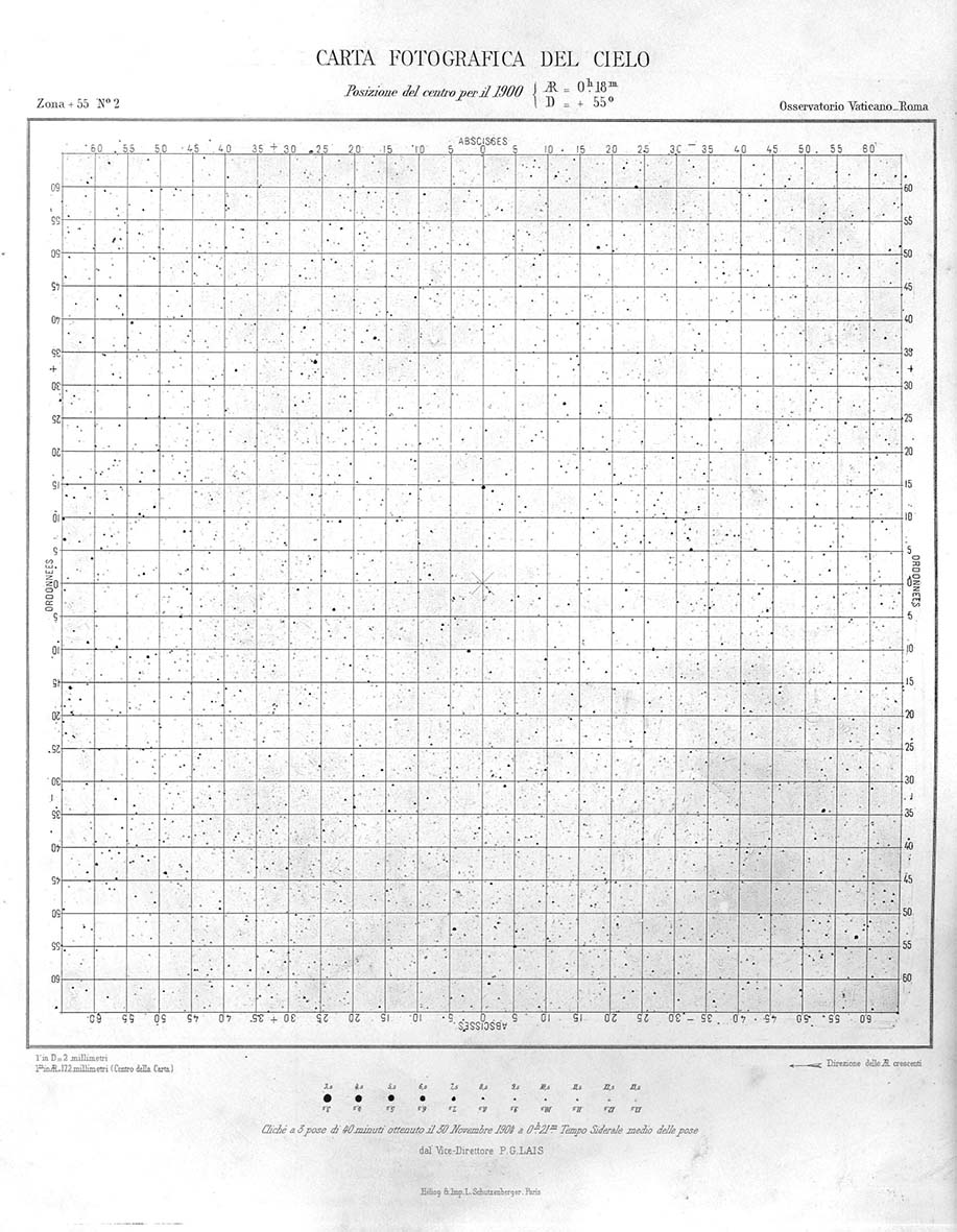
Chart from Carte du Ciel

The Carte du Ciel was a photographic atlas of the sky, with each photographic plate covering an area of the sky two degrees square. The Vatican was assigned a region in the northern sky, and this image is a print of the plate centered at 0 hrs 18 min Right Ascension, 55° Declination. It is a region of the Milky Way in the constellation of Cassiopeia.
